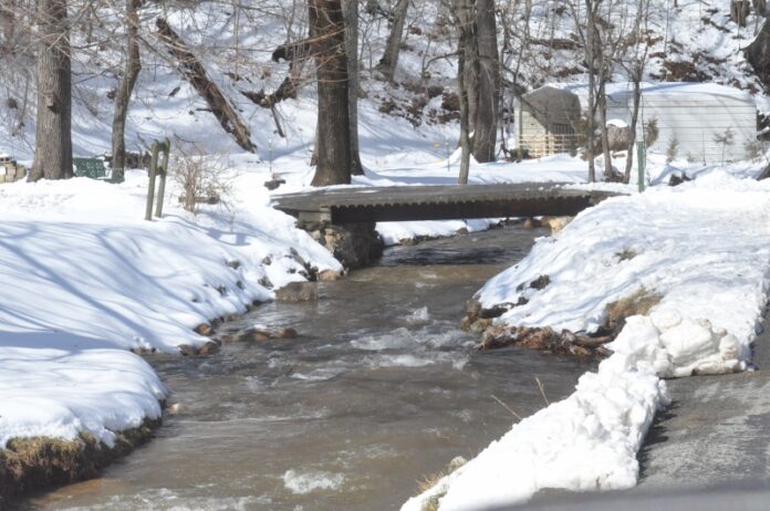
For the second time this winter, Mother Nature reared her head throughout the Roanoke Valley.
Following late-January’s foot-plus snowfall, things fell into place again Sunday afternoon as snow began to fall in the early evening and continued throughout the day Monday.
Accumulations averaged 8 inches in the valley and reached the 1-foot mark in some areas near the top of Bent Mountain.
Most people heeded the warnings of officials to stay indoors and off the roads as snow turned to ice later Monday, making traveling hazardous. Hundreds of crashes as a result of icy roads were reported.
Police responded to numerous accidents and area schools were closed both Monday and Tuesday.
By Tuesday morning, snow and ice had given way to sunny skies and temperatures in the upper 40s as the melting began in earnest.
While most roads were plowed by midday Tuesday, fallen trees and branches required motorists to be diligent.
The melting reduced the snowpack by Tuesday evening, and with temperatures expected to reach the 60s by this weekend, this latest blanket of snow will quickly disappear.
But, don’t put those shovels away yet. Additional cold weather with the potential for moisture continue to be distinct possibilities as we head into the last half of February and March.
Bill Turner
